North Middlesex Feature Part One
North Middlesex Municipal Feature, Part One:
Parkhill Dam, Parkhill Reservoir, and Parkhill Conservation Area
Parkhill Dam created, in part, to protect farmland from flooding
By Tommy Kokas, Water Resources Engineer, Ausable Bayfield Conservation Authority
As part of Ausable Bayfield Conservation’s 75 Years of Conservation feature on the Municipality of North Middlesex, let’s look back to the reasons for the creation of Parkhill Dam.
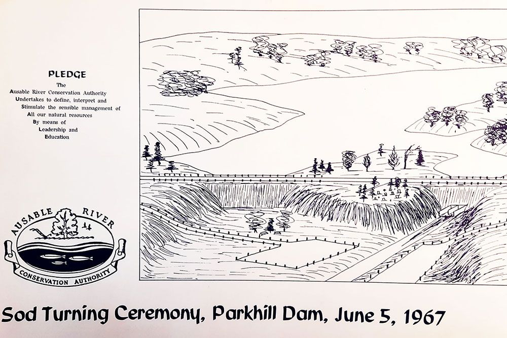
The Town of Parkhill was experiencing frequent floods, originating from the Cameron-Gillies Drain, in the 1940s. At the same time, the flats in the lower reaches of the Old Ausable River, known as the Klondyke area, were developed into highly productive farmland and the crops were experiencing considerable amounts of damage due to flooding as well. In 1949, the need for flood control on Parkhill Creek was identified. Subsequent studies completed in 1959 and 1963 showed the need to construct a flood control dam. Construction of the dam began in 1967 by Redfern Construction Company Ltd., and it was completed in 1969.
The primary goals of the project were to provide flood control and streamflow augmentation for Parkhill Creek. The Town of Parkhill received flood protection by the Cameron-Gillies diversion included in the project. Secondary considerations were the provision of an emergency water supply for the Town of Parkhill and the development of a recreational area based on the lake created by the project.
The reservoir is impounded by two embankment structures – the larger north dam across the valley of the main Parkhill Creek and the south dam containing the control structure, situated on a tributary stream. Middlesex County Road 81 (Grand Bend Road) passes over the top of both of these structures. A bridge crosses over the grassed channel emergency spillway located at the north end of the site. The south dam has a concrete intake structure with an elevated control house for the gate operators.
Ausable Bayfield Conservation Authority (ABCA) maintains and operates Parkhill Dam. ABCA staff complete inspections each year in the spring, after the freshet. This includes inspecting the control tower; concrete integrity; embankment condition (riprap still in place); buoys being visible; no clogging at inlet (debris built up); etc. There are also piezometer wells on the north and south dam that monitor water levels below the dam throughout the year.
Parkhill Conservation Area is home to the Scenic Lookout and Boat Launch. This conservation area is a great place for a picnic. Be sure to pack your blanket and basket and enjoy some bird watching by the shores of the Parkhill Dam Reservoir.
The Commemorative Woods at Parkhill Conservation Area is one of six such sites of the Ausable Bayfield Conservation Foundation (ABCF). This is a way for people to remember and honour loved ones while leaving a permanent local legacy of habitat for wildlife and nature enjoyment and benefits for all living things.
The dam, conservation area, and the Commemorative Woods are some of the projects that are possible thanks to a 75-year partnership with the North Middlesex community.
For Part Two of our 75 Years of Conservation municipal feature, read on and find out about Ontario’s most comprehensive climate change monitoring station … in the Parkhill area!
– In 2021, Ausable Bayfield Conservation Authority (ABCA) is celebrating its 75th anniversary (1946-2021) and 75 Years of Conservation. ABCA is honouring its 12 member municipalities, during this anniversary year, for their partnership, over the past 75 years, which helps to protect life and property, water, soil, and habitat for all living things.
- Introduction to two-part municipal feature on Municipality of North Middlesex
- Part Two: Parkhill Integrated Water and Climate Research Station
To learn more visit abca.ca and this web page: