Conservation Areas
Conservation Areas of Ausable Bayfield Conservation Authority (ABCA)
Ausable Bayfield Conservation Authority (ABCA) conservation area properties are considered islands of nature for visitors to appreciate and explore.
In addition to the passive recreation opportunities that ABCA properties provide, the properties are important environmental assets. Environmental benefits include flood retention and attenuation, mitigating downstream impacts of flooding; filters sediment and nutrients from the water, improving water quality; as well as providing habitat for wildlife, fish, and other aquatic species.
Click on the links to some of the conservation areas in this watershed.
For a list of permitted uses and prohibited uses click on ‘Permitted and Prohibited Uses’ at the link below:
For current property status and updates please visit this web page:
Conservation areas owned by ABCA are open seven days a week from sunrise to sunset, unless otherwise posted.
Ausable River Cut Conservation Area
This 13-hectare (32-acre) roadside park on the Ausable Cut offers hikers a challenging two-kilometre (1.2 mile) loop trail over a high sand dune – easy short-cuts are available. A shorter 0.5 km (0.3 mile) loop has a Children’s Story Walk installed in partnership with Lambton Country Library.
Bannockburn Conservation Area
Bannockburn Conservation Area is home to six different natural communities. Bannockburn Conservation Area offers 1.9 kilometres (1.2 miles) of hiking.
Clinton Conservation Area
Located on the south side of Clinton, this two-kilometre (1.2 mile) loop trail offers a pleasant walk along the Bayfield River. A picnic pavilion provides shelter and a popular place for families.
Crediton Conservation Area
This small conservation area is perfect for a picnic and features an off-leash dog park.
Lucan Conservation Area
Enjoy a short walk through upland hardwood forests and fishing in the Little Ausable River.
Morrison Dam Conservation Area
The Morrison Dam Trail offers four kilometres (2.5 miles) of walking and connects to the MacNaughton-Morrison Section of the South Huron Trail forming an eight-kilometre (five-mile) loop.
Parkhill Conservation Area
Parkhill Conservation Area offers a boat launch, as well as a scenic lookout for picnicking and nature appreciation. The Parkhill Reservoir is the perfect spot for boating (non-motorized) and fishing.
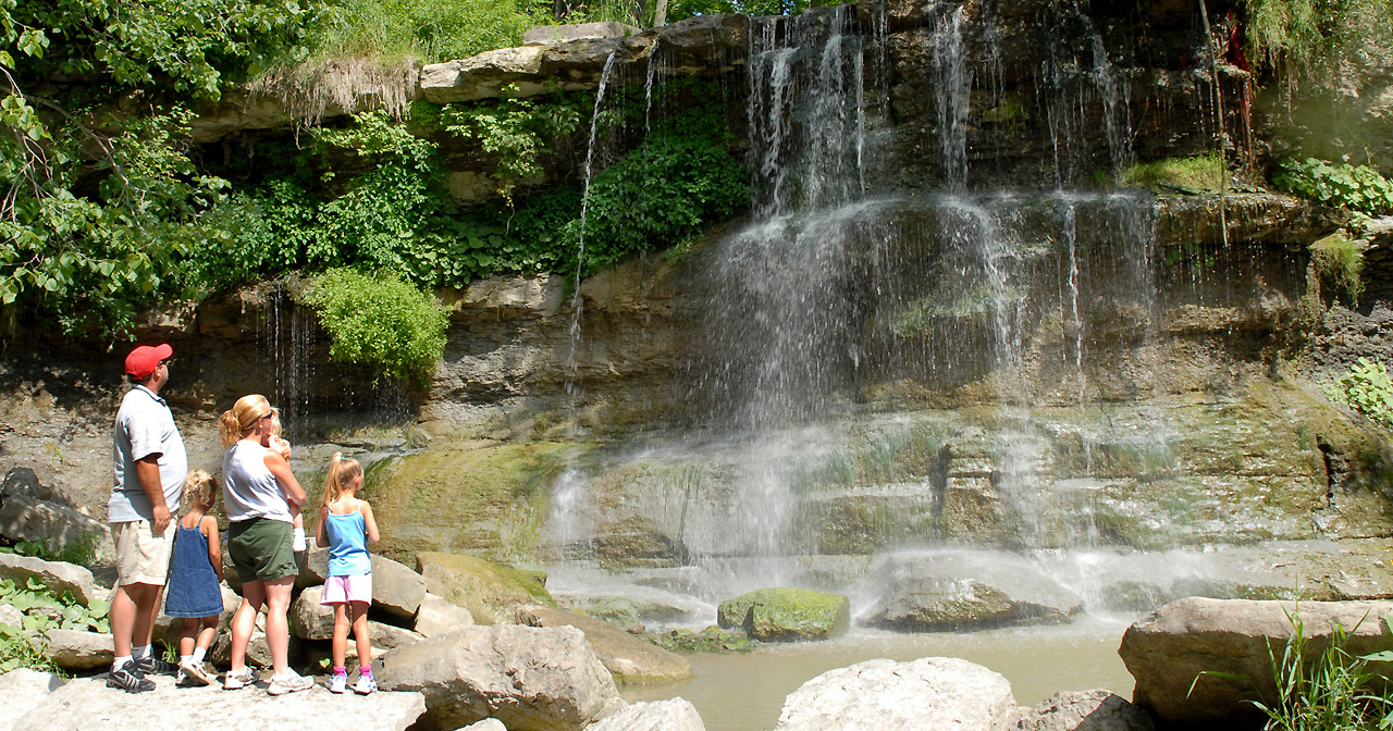
Rock Glen Conservation Area
Experience this unique gem in the Ausable River Watershed. Search for fossils, enjoy the waterfall, hike the gorge, and visit the museum.
Zurich Conservation Area
Located behind the baseball diamonds, the Zurich Conservation Area features a picnic pavilion.
Tips to Enjoy your Visit
Be aware of the following to help you enjoy your visit.
Poison Ivy
Poison Ivy is a common, native plant in the Ausable Bayfield Conservation Authority watershed.
‘Leaves of three, let it be. Berries white, take flight.’
Leaves may either have smooth edges or a few coarse teeth and may appear shiny. If you come into contact with Poison Ivy wash the affected area with hot soap and water as soon as possible, launder clothes in hot water.
Habitat: Open woods, fields and roadsides, disturbed areas.
Giant Hogweed
Giant Hogweed is an invasive, non-native plant introduced from Asia. It has large, flat-topped to slightly dome-shaped flower (similar to Queen Anne’s Lace/Wild Carrot) and seed head and a bumpy or bristly stem. It can grow up to five metres in height. Skin contact with Giant Hogweed sap may cause severe skin rashes when exposed to sunlight.
Habitat: Roadsides, stream banks, waste areas, yards
- Giant Hogweed Fact Sheet - PDF file download
Stinging Nettle
Stinging Nettle is from half a metre tall to three metres in height. Stems and leaves are covered with short, stinging hairs which can cause irritation and inflammation if touched with bare skin. Flowers are in clusters with separate flowers attached by short stalks along a central stem about 1-7 centimetres (cm) long.
Ticks
Ticks are present in the Ausable Bayfield Conservation Authority watershed.
- Wear light-coloured clothing, so it’s easier to see ticks
- Wear closed-toed shoes
- Wear long-sleeved shirts
- Wear long pants, tucked into your socks
- Use insect repellent containing DEET
- After outdoor activity put your clothes in the dryer
Check yourself and your children:
- Behind your knees
- On your head
- In your belly button
- In your groin area
- In your underarm area
- On the back of your body – use a mirror, or ask someone to check for you
It’s a good idea to have a shower as soon as you can to wash off any ticks.
If you discover a tick on your body remove it, place the tick in a secure container and contact your local public health unit.
Directions for removal can be found here:
- Lyme disease and tick removal - The Province of Ontario
- Lyme Disease – Huron Perth Public Health
- Lambton Public Health: What is Lyme disease?
- Lyme disease – Middlesex-London Health Unit
