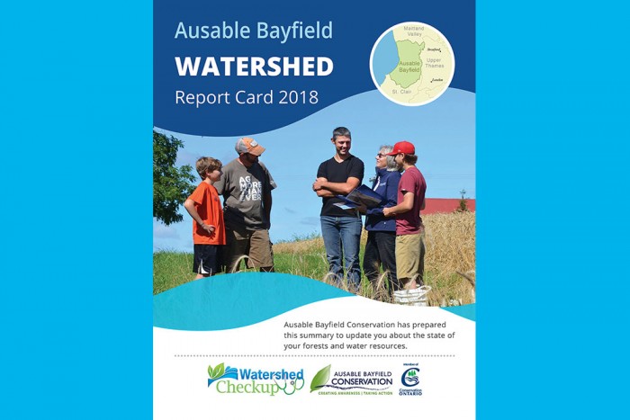
Watershed Report Card 2018
Watershed Report Card (2018-2022) Interactive Map
Click on your location, on map below, to go to your subwatershed report card for your local watershed community:

New, updated Watershed Report Cards (2023) coming soon
Ausable Bayfield Conservation prepares Watershed Report Cards every five years as a summary of the state of your forests and water resources.
The new, updated Watershed Report Cards (2023) are to be posted in March 2023 in time for World Water Day.
Below, please find the previous update of the Watershed Report Cards, in 2018 (there were also report cards in 2013 and 2007):
Ausable Bayfield Watershed Report Card 2018-2022
The parts of the Ausable Bayfield Watershed Report Card (2018) is posted below as separate PDFs.
Summary Brochure - 2018 Ausable Bayfield Watershed Report Card
- Ausable Bayfield Watershed Report Card 2018 - Eight-page Summary Brochure for Entire Ausable Bayfield Area (3 MB - Very Large PDF file)
Full Report - Ausable Bayfield Watershed Report Card 2018
For reasons of file size, the full report of the Ausable Bayfield Watershed Report Card 2018, is separated into the following sections:
- Title Page; Executive Summary; Acknowledgements; Table of Contents (2 MB - Large PDF file)
- Chapter 1: Introduction and Background (2 MB - Large PDF file)
- Chapter 2: Methods and Results (Process, Indicators, Summary, Next Steps) - This is a huge (4 MB) PDF file.
- Chapter 3: Watershed Report Cards - for 16 Subwatersheds of the Ausable Bayfield Area: The following are the Watershed Report Cards for the 16 local watersheds, or subwatersheds, of the Ausable Bayfield area. Each of these 16 files is a large PDF file of about 1.1 MB each:
- Ausable Headwaters
- Bannockburn
- Bayfield Headwaters
- Bayfield North
- Black Creek
- Little Ausable
- Lower Ausable
- Lower Parkhill
- Main Bayfield
- Middle Ausable
- Mud Creek
- Nairn Creek
- Old Ausable Channel
- South Gullies
- Upper Ausable
- Upper Parkhill
- References and Appendix. (1 MB - Large PDF file)
Here are the links to the Ausable Bayfield Watershed Report Card current web pages and PDF document:
About Watershed Report Cards
Report cards give residents information to protect and enhance watershed resources. Report card standards were developed for consistent reporting across Ontario.
Report cards are based on forest, surface water quality, and groundwater quality conditions in 16 subwatersheds in watersheds of the Ausable Bayfield Conservation Authority (ABCA) area. These include three Bayfield River subwatersheds, eight Ausable River subwatersheds, two Parkhill Creek subwatersheds, Mud Creek, and two smaller Lake Huron subwatersheds.
Watershed Report Cards tell you about your watershed - where more work is needed and where work has been achieving positive results.
They also provide you with things you, your community, and local agencies can do to help protect and improve watershed health.
They offer 'Thumbs Up' congratulations to watershed community partners creating awareness and taking positive action - they also offer a 'top action' that is needed in each of 16 local subwatersheds.
What is a watershed?
A watershed is an area of land drained by a creek or stream into a river which then drains into a body of water such as a lake or pond. Everything in a watershed is connected. Our actions upstream affect conditions downstream.
Why measure? Measuring helps us to better understand this watershed. We can target our work where it is needed and track progress.
We measured:
- Forest conditions
- Wetland cover
- Surface water quality
- Groundwater quality
- Overwinter vegetative cover